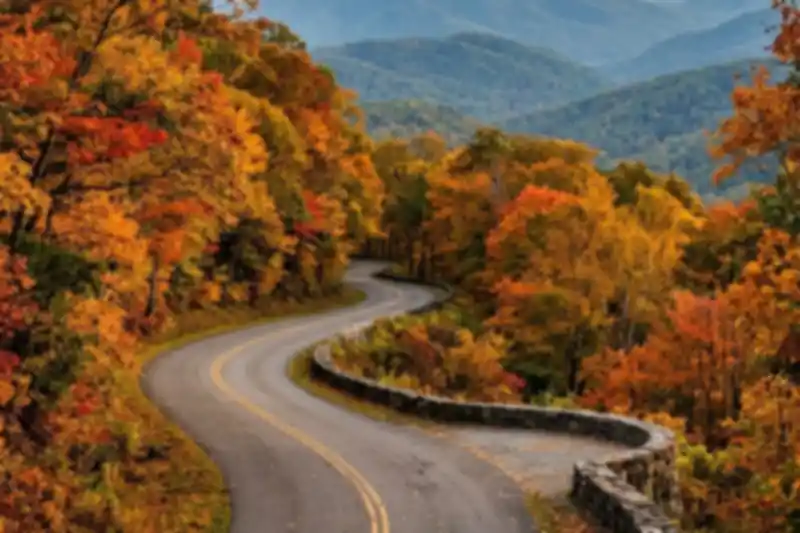
Newfound Gap Road is the one drive in the Smokies that crosses the whole mountain 🍂
Newfound Gap Road scenic drive: Gatlinburg up to a 5,046-foot gap on the state line, then down into Cherokee, with stops worth making.
It is the only road that crosses the national park from side to side, and it does it in roughly 31 to 33 miles depending on who is doing the measuring. You can drive it straight through in an hour on a perfect day. Nobody has a perfect day on this road. There are overlooks every few minutes, trailheads that fill by nine in the morning, and a weather change at the top that can turn a sunny drive in Gatlinburg into a snow squall at the gap.
This is the drive we point guests to first, because it is the best return on a half day in the park. You get the Appalachian Trail, the state line, a memorial where a president dedicated the park, a sunset overlook most visitors drive right past, and, if you keep going, a mill and a pioneer farm on the Cherokee side. Below is the order we would do it in, where the parking is tight, and the single most important thing to know before you go in late fall or winter: this road closes, often and without much warning.
One note on numbers. Different sources measure from different starting points (the Sugarlands Visitor Center, downtown Gatlinburg, the Cherokee end), so mileages vary by a mile or two. We have used the National Park Service wherever it gives a figure and labeled the rest as approximate.
The stops, in driving order from Gatlinburg
Start at the Sugarlands Visitor Center, about two miles south of downtown Gatlinburg on US 441. Fill the gas tank and use the restrooms here. There is nothing for sale on the climb, and the bathrooms at the pullouts are few and seasonal.
Campbell Overlook (the first pullout)
This is the first overlook you reach heading south from Sugarlands. It is named for Carlos Campbell, who ran the Knoxville Chamber of Commerce in the 1930s and was one of the people who pushed to create the park. The view looks across a ridgeline where a 2016 wildfire burned, and the dense young pine thicket that grew back is now the main thing you see. It is a good two-minute stop, not a destination.
Chimney Tops and the picnic area
The Chimney Tops trailhead sits roughly seven miles from Sugarlands on the NPS count, and the picnic area is just beyond it. The trail is 3.5 miles round trip with a lot of stone stairs, and the park warns of extreme crowding and limited parking. The 2016 wildfire changed this slope and made it more prone to erosion, and the NPS asks everyone to stay out of the closed area past the gate. Honor the signs. The picnic area is the easier win: shaded tables beside a creek, a three-quarter-mile Cove Hardwood Nature Trail loop, and a spot to eat before the real climb.
Alum Cave Trailhead
Around mile 11 from Gatlinburg you reach the big lot for the Alum Cave Trail, the park’s most popular route up Mount LeConte. The lot is large and still overflows. If you only want a taste, Arch Rock is 1.4 miles in, and the bluffs are about 5 miles round trip. If the lot is jammed, do not circle for 20 minutes. Keep driving and come back on the return.
Morton Overlook (the sunset secret)
Morton Overlook sits on the Tennessee side at about 4,826 feet, shortly before the gap. It faces west, down a valley framed by ridges on both sides, and it is one of the best sunset pullouts in the park. It is not a sweeping 360-degree panorama. It is a corridor of ridgelines that go from green to blue to purple as the light drops. The lot is small, and on a clear evening the spots are gone about an hour before sunset. Search the name in your GPS, because there is no big sign to catch you off guard.
Newfound Gap itself
At 5,046 feet, this is the lowest drivable pass through the park, and it straddles the state line. The Rockefeller Memorial is here, a stone terrace honoring the Rockefeller Foundation’s gift that helped finish land purchases for the park. Franklin D. Roosevelt dedicated the park on this spot on September 2, 1940. The Appalachian Trail crosses the road here too, so you can stand with one foot in Tennessee and one in North Carolina and watch through-hikers refill their water bottles.
The lot has seasonal restrooms and is also the trailhead for Charlies Bunion, an 8-mile round trip along the Appalachian Trail that the NPS rates strenuous. Plan five hours for it. Temperatures at the gap often run 10 to 15 degrees cooler than the valley, and the wind is stronger. Bring a jacket in July.
The Kuwohi turnoff
A tenth of a mile south of the gap, a spur road runs seven miles up to Kuwohi (Clingmans Dome), the highest point in Tennessee. That road is closed to vehicles in winter and, for 2026, shuts on November 29. We wrote up that whole trip in our Kuwohi guide, including the parking math that catches everyone.
Oconaluftee, Mingus Mill and the Mountain Farm Museum
Coming down the North Carolina side, the road follows the Oconaluftee River. Mingus Mill, a working grist mill built around 1886, is about a mile north of the Oconaluftee Visitor Center and normally runs from March through November. The interior has been closed for preservation work in recent seasons, so check before you plan around the cornmeal. The Mountain Farm Museum sits beside the visitor center, and elk often graze in the fields there at dawn and dusk, which is the easiest elk viewing in the park. We cover the rest of that in our guide to where to see elk in the Smoky Mountains.
The part everyone gets wrong: this road closes
Newfound Gap averages roughly 69 inches of snow a winter, and snow at the high elevations can fall anywhere from October through April. The valley in Gatlinburg may be 55 and raining while the gap is 29 and frozen. The NPS closes Newfound Gap Road during winter storms for snow and ice, sometimes for hours and sometimes for days, and conditions can turn hazardous fast once precipitation starts.
Do not trust the weather app for Gatlinburg. Trust the park instead:
- Call (865) 436-1200 before you leave. Extension 631 is road closures and extension 630 is the weather forecast.
- Follow the park’s road-update account on X, which covers Newfound Gap Road, Little River Road, Laurel Creek Road and Cades Cove Loop.
- Check the Purchase Knob webcam, which sits at 5,000 feet, to see whether the high country already has snow.
If you reach the gap and the road is gated behind you, the other side of the mountain is a long way around. The alternate route to Cherokee goes by way of I-40 and US 74, which is a long detour. Decide at the foot of the mountain, not at the top.
The second thing everyone gets wrong is the time. Gatlinburg to Cherokee is an hour of driving and four hours of life. People plan to “pop over to Cherokee for lunch” and eat dinner at the gap. Treat the drive as the activity, pick two or three stops, and let the rest go.
A few honest tips from us
We are Eddie and Ariana, a Miami couple who bought a place in the Sevierville foothills, kept the dog, and fell in love with early mornings on this ridge. Newfound Gap was the first drive we did the week we closed, and we still do it with every set of out-of-town friends. Guests who book Sunny Sierra Cabin directly usually ask us to plan the route over a text, so here is the version we send.
Leave by 8 a.m. in fall and summer, and you will have the pullouts nearly to yourself. Do the road in one direction going up and the other coming back, because the views flip: you see the Chimney Tops side of the valley on the climb and Mount LeConte on the descent. Eat at the picnic area, not the gap. Save Morton Overlook for the return trip if you can time it to sunset.
If you want the quieter alternative on a busy fall Saturday, Roaring Fork Motor Nature Trail is the shorter, slower loop close to downtown Gatlinburg.
Quick reference before you drive
- Parking tag: You need one if you will park in the national park for more than 15 minutes. The Park it Forward tag is $5 for a day, $15 for a week and $40 for a year, and federal passes do not replace it. Buy it in advance if you can, because a mailed tag takes days, and the lots at the Chimney Tops and Alum Cave trailheads fill early.
- Gas and food: Fill up in Gatlinburg or Cherokee. There is none on the mountain.
- Best light: Sunrise on the Oconaluftee side, sunset at Morton Overlook.
- Best season: Mid-October for color above 4,000 feet, late October for the lower valleys. Our best time to visit guide breaks down each month.
- Dogs: Pets are not allowed on park trails, apart from the Gatlinburg Trail and the Oconaluftee River Trail, so plan the stops with that in mind.
- Bathrooms: Sugarlands, the Chimney Tops picnic area, the gap (seasonal) and Oconaluftee. That is the whole list.
The Newfound Gap Road scenic drive rewards the person who checks the closure line, packs a jacket and leaves early. Do those three things and you will have the best half day in the Smokies.
Sources
- Newfound Gap Overlook, National Park Service
- When Will It Snow? Great Smoky Mountains National Park
- Hike to Chimney Tops Overlook, National Park Service
- Itinerary beginning at Sugarlands Visitor Center, National Park Service
- Carlos Campbell Overlook, National Park Service
- Morton Overlook: One of the Best, Most Accessible Views in the Smokies, TheSmokies.com
- Newfound Gap Road Scenic Drive, My Smoky Mountain Park
- Great Smoky Mountain National Park parking tag, Lonely Planet